Better access to spatial planning data at sea
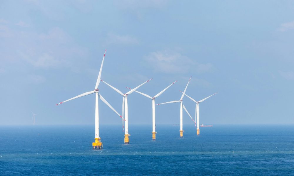
In the North Sea, more and more functions and interests are coming together, while at the same time there is a lot of data available that can help with spatial choices. In 2026, Informatiehuis Marien (IHM), MARIS and Nelen & Schuurmans received €10,000 DigiShape seed money to develop SeaScape . This is an interactive sea use map that brings together different data sources and can be queried with the help of AI.
Project leader Jermo Janmaat of Nelen & Schuurmans explains how the idea came about, what SeaScape should deliver and what steps are needed to further scale up the application.
From land use map to sea use map
“The idea arose from a question from Sandra Langezaal of Informatiehuis Marien,” says Jermo. “A lot of data about the North Sea is available via the Marine Information House, but the question is whether this data is offered sufficiently accessible. At the same time, there is the question of how that data can be made available to AI systems and AI agents in a controlled and responsible manner.”
At the moment, the data can mainly be requested via the web viewer of Informatiehuis Marien. Downloading is possible, but only in smaller parts. “The demonstrator tool that we are developing makes it possible to query all data via AI and supported by the MARIS Beacon software, deliver it in the desired format and do analyses directly on it.”
Nelen & Schuurmans has been working for some time to make information about water systems available for spatial planning on land and inland waterways. Among other things, the organisation manages a land use map for the water sector, in which various data sources are brought together into a single spatial image. Together with MARIS, which specialises in marine data management and data access, the question therefore arose as to what spatial planning in the North Sea can learn from the approach on land.
“On land, the starting point is often the land use map. Knowing how an area is currently being used will also give you a picture of stakeholders and features. With a sea use map, we are therefore laying a foundation for the spatial planning of the North Sea and we have a great use case for investigating how North Sea data can be made more accessible.”
AI as the backbone of the sea use map
AI is the backbone of the sea use map. “It makes it possible to query and analyze large amounts of data for spatial planning.” To provide insight into what data is retrieved and what analyses are performed, SeaScape uses AI to generate python scripts. In it, the user can see exactly which data is being used, what AI does with the data and adjust any incorrect assumptions. “This strengthens the user’s confidence in the outcomes.”
DigiShape as a driver
The collaboration between the three partners came about through DigiShape. “During a seed money brainstorm on a DigiShape day, the idea of a sea use map as a case study arose,” says Jermo. “MARIS and Informatiehuis Marien already knew each other. Then the question arose how Nelen & Schuurmans looked at this issue and what we could contribute.”
The seed money helps to take the first step. “The way in which Large Language Models are linked to external data is developing rapidly and is becoming increasingly standardized. This has great potential, but also requires continuous experimentation with these new forms of standardization. The seed money makes it possible to do this.”
First software developed
The first steps in the project have already been taken. Together with users of the data from Informatiehuis Marien, an inventory was made of which questions they want to answer with the data. Based on this, software has now been developed that uses IHM data to answer these questions. “That software is now being further refined. The translation of the data into the sea use map also has yet to take place. Then the whole thing is presented to the users.”
Next step: unlocking at the source
The current sea use map will only cover a limited part of the spatial planning data of the Marine Information House. Moreover, not all source data is made accessible in a usable way, so new data is not automatically included. The next step towards scaling up is to unlock all IHM data at the source.
More information
Please contact Jermo Janmaat of Nelen & Schuurmans.